How-to guide
Update stops after a ride-along
After you ride the route, adjust stop positions, notes, and times in the editor. Click “Save map” so the latest version shows up on the same shared link.
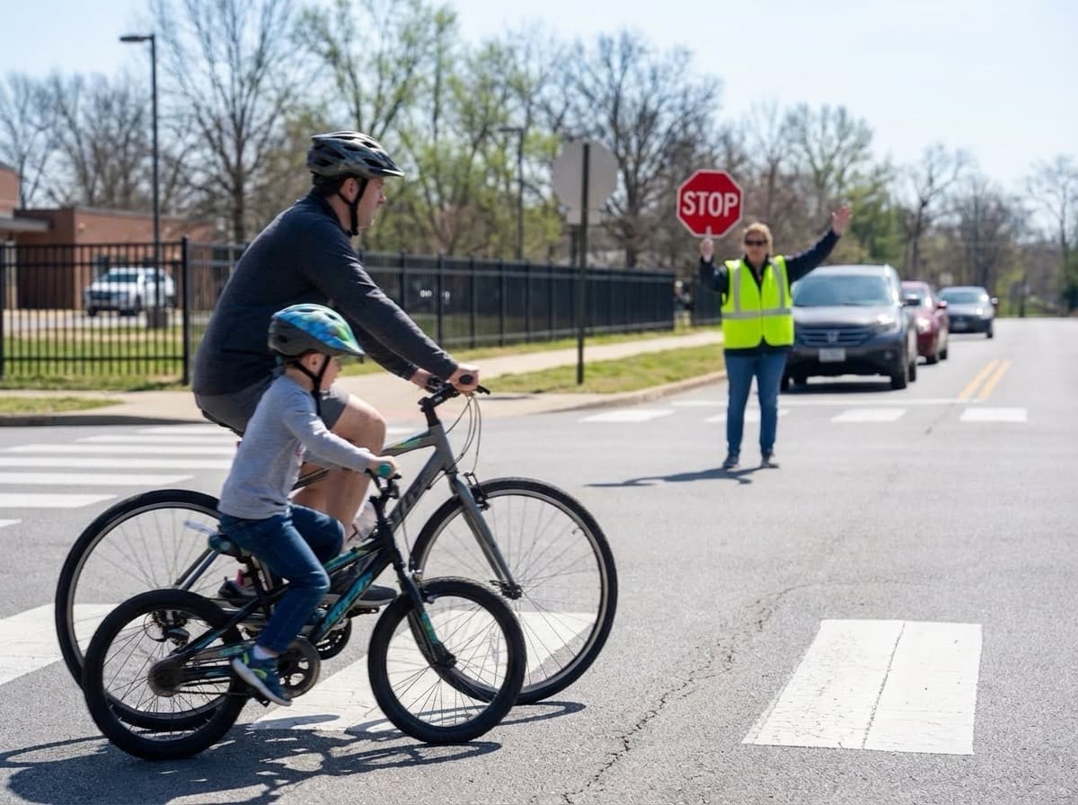
Treat the ride-along as evidence
A ride-along tells you what the route feels like in motion: where riders bunch up, where a stop is hard to recognize, and where timing is unrealistic. Capture those observations right away instead of trusting memory later.
Even a route that looks sensible on the map can behave differently during school traffic, at a tricky crossing, or with younger riders in the group. Field testing is where the map becomes operational.
Move stops to the place families actually wait
If a stop marker is technically accurate but practically awkward, move it. Families need the point on the map to match where a leader expects riders to gather, not simply the nearest address.
Good stop placement reduces uncertainty. Small adjustments such as moving a marker to the corner with better visibility or to the side street with less car conflict can make the route easier to use.
- Place the stop where the group can wait together safely.
- Avoid ambiguous corners when one side is clearly better.
- Use notes when the marker alone is not enough.
Tune timing to the real pace of the group
Early drafts often underestimate how long it takes to gather riders, cross streets, or restart after a stop. Update pickup times based on the pace you observed, especially if younger students or mixed skill levels are involved.
If you adjust one stop time, check the ones that follow. Families rely on the sequence, so a small timing correction at the beginning may need to ripple through the rest of the route.
Add notes that prevent morning confusion
The best map notes are short, practical, and tied to a real issue you observed. For example, 'Wait on the north sidewalk by the blue fence' is more useful than a long narrative about the neighborhood.
Use notes for crossings, landmarks, school-entry instructions, weather contingencies, or any detail a substitute leader would need to know to run the route confidently.
- Make edits, then click “Save map” so the updated route is stored.
- If the map is Public, reuse the same link to announce changes.